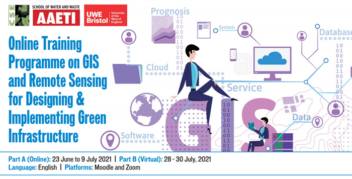
Online Training Programme on GIS and Remote Sensing for Designing & Implementing Green Infrastructure
About the course
CSE prepared a practitioner’s guide on Green Infrastructure and Water Sensitive Urban Design & Planning for Ministry of Urban Development (now called Housing and Urban Affairs), Government of India as key reform agenda in sustainable water management area within the existing urban fabric of a city / region or new development. Green infrastructure contributes to water security as one of the solutions to overcome the emerging water management issues – of sustainability water supply, moderation of extreme flood events, regulation of water quality through treatment of wastewater and local reuse. Recently CSE has published a web based – ‘Compendium of Green Infrastructure Network Systems: C-GINs’ as repository bringing together approaches (Policies/ Guideline, Programmes, Plans) and Project – successfully implemented case studies globally and in India to help practitioners learn water management issues in a comprehensive manner.
This tailor-made training on Geographic Information System (GIS) and Remote Sensing (RS) will go long way supporting practitioners as well as allow managers and regulators move efficiently from traditional planning and design techniques to smart, cost effective and sustainable water and sanitation solutions.
Aim
To equip practitioners, managers and regulators with state of art tools and techniques for required for water sensitive urban design and planning.
Objectives
Build skills to use GIS and RS in sustainable water management in city/region.
Enhance understanding on various data portals: USGS Earth Explorer, Bhuvan, OpenStreetMap, Toposheets, etc.
Prepare maps and perform analysis using open-source GIS packages for designing and implementing green infrastructure for improved water security in city/region.
Programme Design
The training will be in two parts – Context setting and Introduction (online training) and Hands-on practice through action learning (residential training). The programme is based on state-of-the-art teaching – learning tools consisting of interactive sessions, going through relevant reading material, documentaries, experiential learning using detailed case studies and working in groups. The participants will have opportunity to interact with global and national experts in the field (refer trainer details).
Part A: Context setting and Introduction (Online Platform): Basics of GIS and Remote Sensing, role of GIS in water and sanitation management in urban areas, Introduction to Q-GIS user interface.
Part B: Action Learning (Virtual Training): Extracting GIS and Remote Sensing Data, Query Analysis and Preparing Maps, topography and hydrology analysis, analysis water and sanitation infrastructure.
General Details
GIS Package: The course will be run on open-source GIS package, Quantum-GIS (Q-GIS).
Language of Instruction: English
Minimum System Requirements
Kindly check if your computer/laptop meets the following minimum configuration:
Hard Disk Space: 5GB for installation, and 10GB for data and other GIS Files
RAM: 2GB
Operating System: Windows 7 and above, Mac, Linux
Graphic Card: 512MB / 1GB
CPU-Processor: Core-i3, 2.7 GHz
For registration, click here
For more information on the training programme kindly contact:
Training Coordinator
Dhruv Pasricha
Programme Officer
Centre for Science and Environment, New Delhi, India
Tel: +91-11-40616000, 29955124, 299956110 ext. 322
Mob. +91 8527447891
Email: [email protected]
Training Director
Dr Suresh Kumar Rohilla
Senior Director & Academic Director,
(School of Water and Waste, Anil Agarwal Environment Training Institute – AAETI)
Email: [email protected]
For More Information :


